GPS/GIS
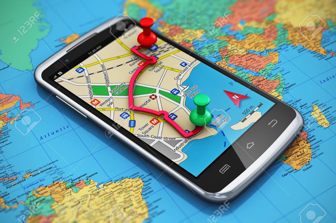
So this week we have been discussing GPS (Global Positioning System) and GIS (Geographic Information System). I have been taking a class on GPS separately however we had not touched on any GIS software uses so this week was fun. There are so many things in our lives now that are enabled by GPS…cellphone navigation, credit card transactions, self driving cars are just a few of these things.
As a new lieutenant in the Air Force, I was lucky enough to be stationed at Schriever AFB where GPS is command and controlled. I got to see first hand what goes into the constellation and it’s upkeep and it is amazing to see the men and women of the 50th Space Wing take care of these and other constellations that are vital to our nation. Most people have no idea that the little base in Colorado has such amazing work going on at it every day…but lucky for me, I got to experience it first hand.
GPS may have stared out as a military technology, but it has migrated in to a very important part of civilian life as well. For example, using the GPS system, we were able to map out various types of trees with descriptions of each type, what color they were, and what species they were with pinpoint accuracy. Prior to GPS, this task would have been a giant pain, but using a relatively inexpensive device, we were able to accomplish over 20 data points in about 30 minutes.
GPS is a technological miracle, and knowing the math behind it makes me appreciate it even more. For those of you at Tufts, I would highly recommend the ME-186 course by Professor Misra if you are interested in learning more about GPS.
Cheers,
FZ